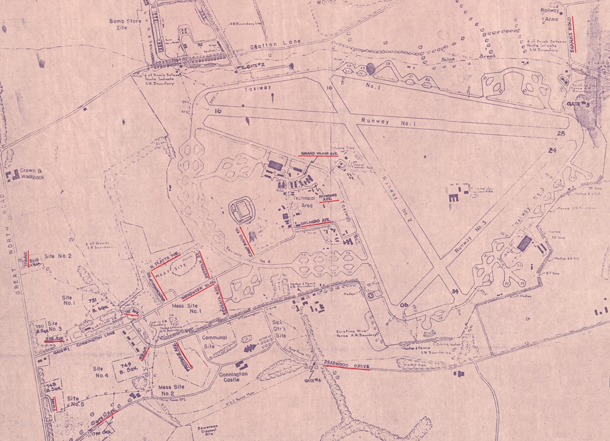
On one of the Glatton maps names were given and added to certain roads and paths. Our guess is that they might have done this to make navigation on the base more easy. We do know that in January 1944 (some of) these names already exited. How do we know? In the history file of the 1061st MP Company (Avn) is an extract about one of the motorcyclist’s, T/5 Johnnie N. Collins, who was in an accident on January 25th 1944 while patrolling Wendover Blvd.!
We do not know who gave these names but we do know that they preferred names from the good old States. I have never ever heard a veteran talk about names of roads or paths but the fact remains that the are on the map which was used by the 457th BG when they were at Glatton. Maybe someone has heard a veteran (father, grandfather, uncle) talk about road names, please let me know if they did 😉
Let’s take a closer look at the base and where these roads, drives, Ave’s and Blvd were and what they were named.
1st Ave.
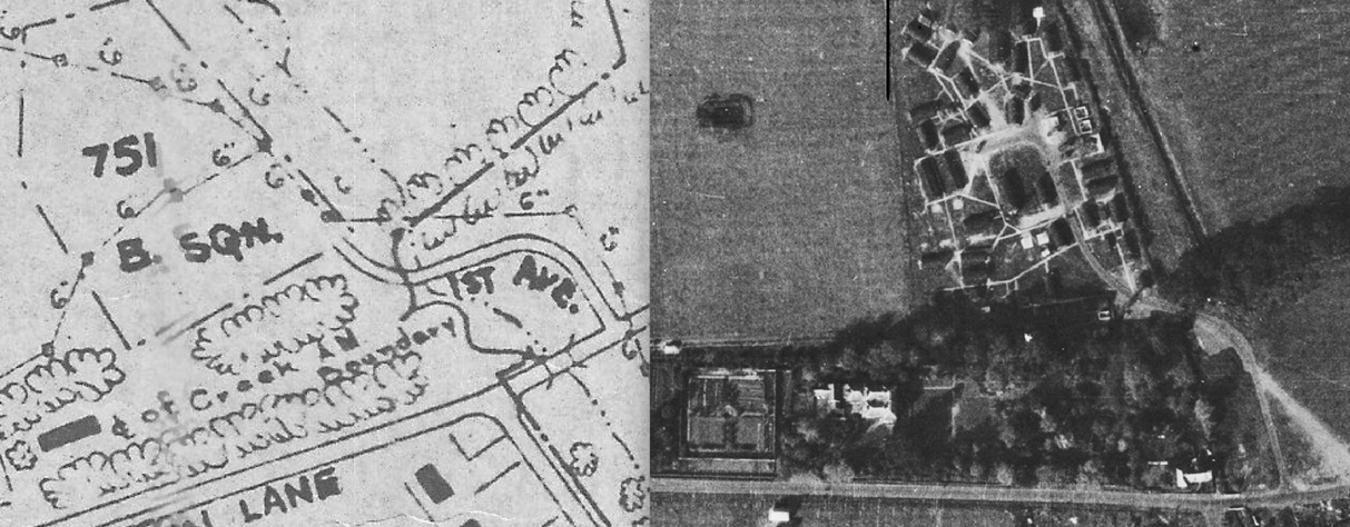
The 1st Ave. was the road leading up to the 751st BS living area and was located on Wendover Blvd. (nowadays Connington Lane). It was a bit of a walk from Wendover Blvd. to the 751st BS living area, using the 1st Ave. The 1st Ave. was also the only Ave. with a small bridge to cross. The whole 751st BS living area is gone and has been returned to farm land but the old 1st Ave. is still there although it will take some climbing and going through bushes to get to it. Remember to always ask for permission of the landowner when climbing over fences!
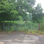
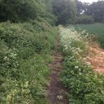
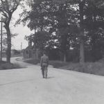
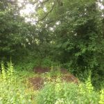
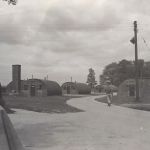
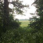
The first photo shows the 1st Ave. seen from Wendover Blvd. (nowadays Connngton Lane) in the direction of the 751st BS living area as it is today. The entrance shows how wide this road was, wide enough back in 1944/1945 for a truck to drive on. The second photo shows what’s left of the road behind the fence (seen on the first photo). Totally ovegrown only a small path is left. The third photo shows a man walking on the 1st Ave. near the small bridge just before entering the 751st living area. The fourth photo shows the same bridge as it is today. Totally overgrown but still recognizable. The fifth photo shows the 1st Ave. entering the 751st BS living area and the sixth photo shows the same location as it is today. Now only bushes with behind them farm land where the 751st BS living area would have been.
— click on the images for full size photos —
2nd Ave.
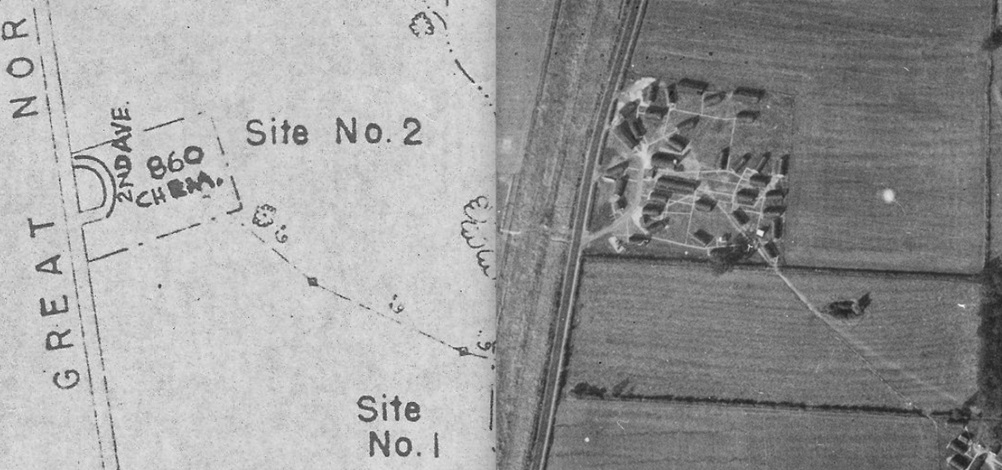
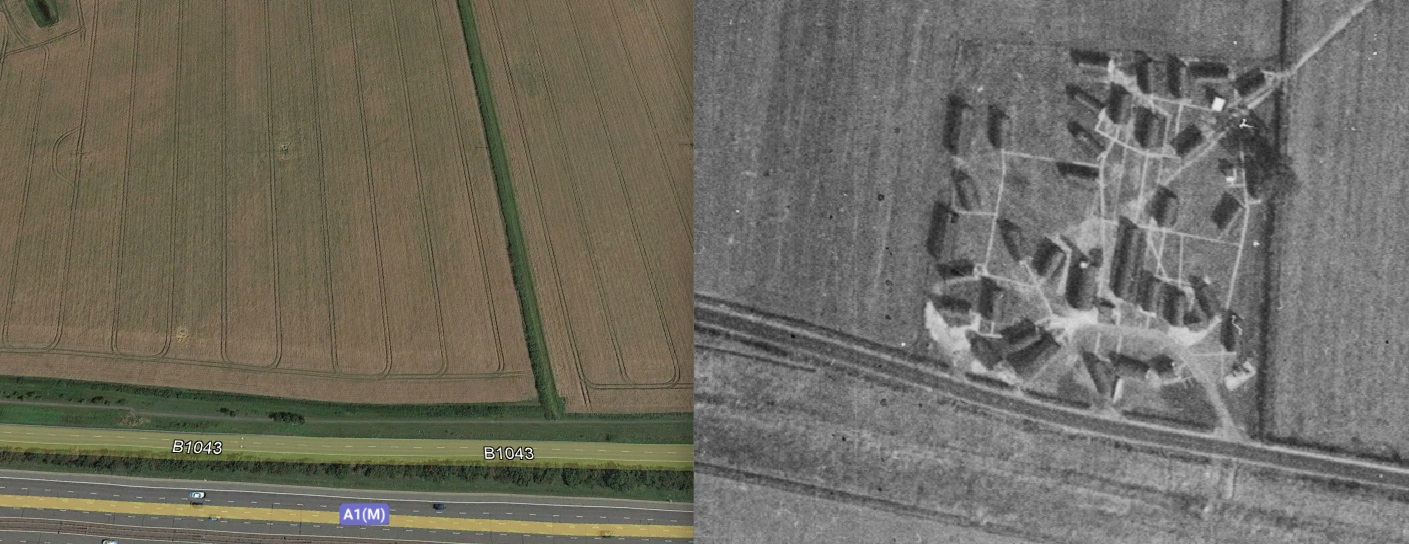
The 2nd Ave. was the road leading up to the 860th Chemical Company living area and was located, like the 748th BS living area entrance, on the old A1 Great North Road. No traces can be found nowadays from either the 2nd Ave. or the living area. There are no photos of the 860th Chemical Company living area so we only have the old aerial photos to get an idea of the situation of the 2nd Ave. and living area.
Nothing left from either the 2nd Ave. or the 860th Chemical Company living area. Although everything has returned to farm land we can still make out the hedge that is on the old 1944 photo and use that for orientation.
— click on the images for full size photos —
3rd Ave.
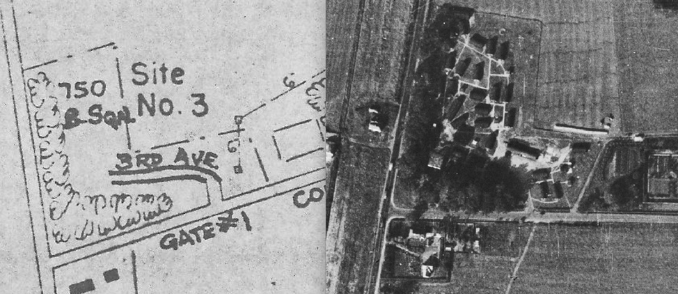
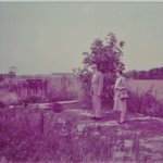
The 3rd Ave. was the road leading up to the 750th BS living area and was located at the beginning of Conington Lane. Opposite the 3rd Ave. was the main gate to Glatton with the MP post. The 3rd Ave. is still partly there although, like many old roads, private property now. The old 750th living area is partly overgrown with only the old watertower as a reminder of what used to be the 750th living area.
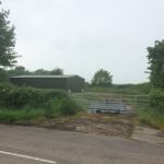
The first photo shows the beginning of the 3rd Ave seen from Connington Lane. As you can see the 3rd Ave. turns to the left where you would enter the living area. The second photo shows Lt. Edwin Jackson with his wife in 1984 near the 3rd Ave on the 750th BS living area. The third photo shows the MP post (main gate to the base) which was opposite of the 3rd Ave. On the left of the photo you’ll see the 3rd Ave. entrance next to the visitors sign.
— click on the images for full size photos —
4th Ave.
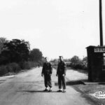
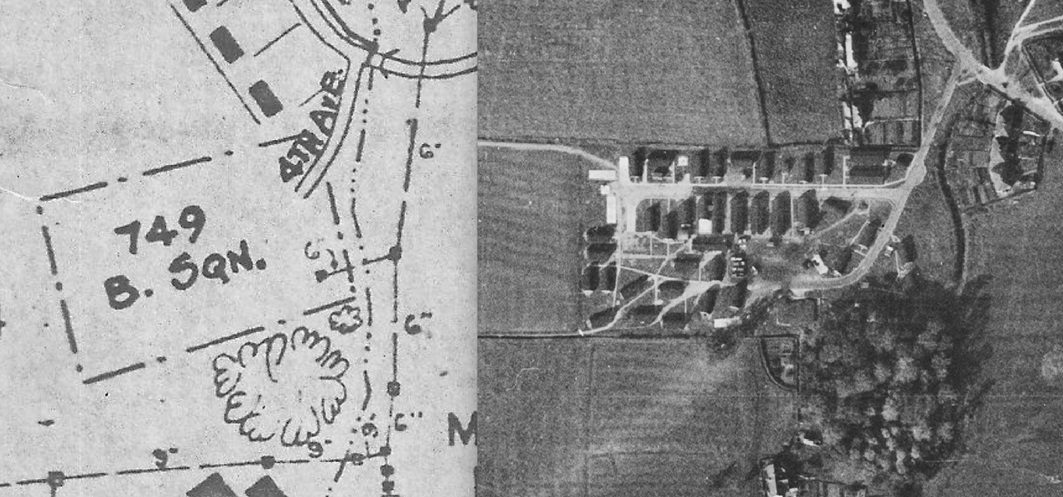
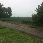
The 4th Ave. was the road leading up to the 749th BS living area and was located on Conington Lane (nowadays Church Road). The 4th Ave. is still partly there although the 749th BS living area is gone and has been returned to farm land.
The first photo shows the 4th Ave when coming from Connington Lane (nowadays Church Road). Just behind the bushes the 749th BS living area would have been. The second photo shows the 4th Ave. with the huge 749th BS sign. The man walking towards the camera is looking to the right in the direction of the living area where he just came from. The third photo shows The 4th Ave. in the opposite direction. The houses in the background are still there.
— click on the images for full size photos —
5th Ave.
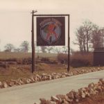
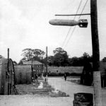
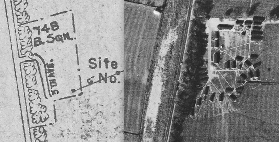
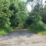
The 5th Ave. was located on the 748th BS living area. When entering the living area from the A1 Great North Road entrance the 5th Ave. would be on your right hand. The whole 748th BS living area is gone and has been returned to farm land, if you look closely you can only find some evidence of the old A1 Great North Road entrance.
The first photo shows the old A1 Great North Road entrance to the 748th BS living area. The second photo shows Lt. Carrol standing on the 5th Ave. at the 748th BS living area, in the background you can see the old A1 Great North Road. The third photo shows Maj. Frederick W. Hutchinson standing on the 5th Ave. In the background you can see the thached roof house that stood at the corner of the old A1 Great North Road and Connington Lane.
— click on the images for full size photos —
6th Ave.
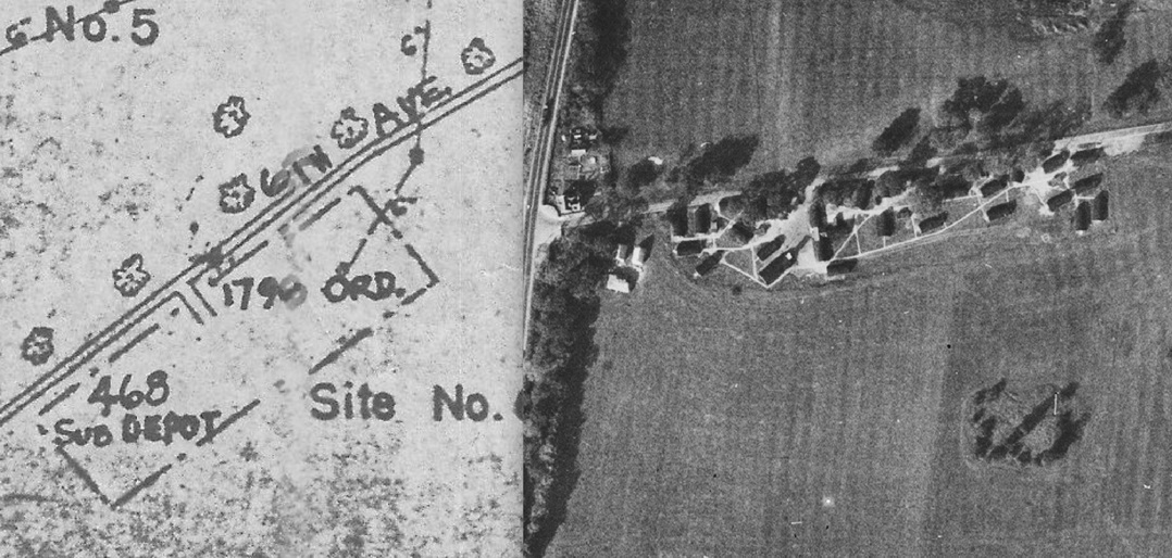
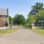
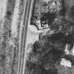
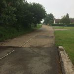
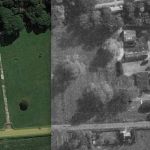
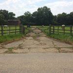
The 6th Ave. was a road that lead to the 468 Sub-Depot and 1790th Ordnance S & M Company living areas. The entrance of the 6th Ave. was situated along the old A1 Great North Road. Nowadays the road is closed off by a fence belonging to the house that is situated at the beginning of the 6th Ave. On the old aerial photo you can see that that house is already there and the entrance also looks the same. Could this be the old entrance to Connington castle? The 6th Ave. also lead to the Sewerage Disposal site. I don’t see any other paths (like you see in other living areas) connecting to other areas. So they had to walk through the field or take the long route (back to the old A1 Great North Road and take Connington Lane) to get anywhere on the base.
The first photo shows the entrance to the 6th Ave. in modern times. The fence is closed. The second photo show a detail of the aerial photo from 1944. You can see the same shape of the fences.
— click on the images for full size photos —
Wendover Blvd.
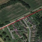
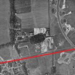
The Wendover Blvd. was build during construction of the base. At the spot were Conington Lane goes into Wendover Blvd. a brigde had to be build. Wendover Blvd. made it possible to drive from Connington Lane, Wendover Blvd. to the Technical site. The first part of Wendover Blvd. is still in use because of houses that were build next to it. The rest of Wendover Blvd. can be seen on aerial photos and parts of it are gone, I can imagine trucks and jeeps with aircrews used Wendover Blvd. to get from their living areas to the B-17’s waiting for them in the morning. This is the only ‘Blvd’ on the base and that is probably because of the fact that it is a long road and it goes from one end of the base all the way to the other side of the base.
The first photo shows the beginning of Wendover Blvd. This photo was taken from the small bridge in the direction of the Technical site. You can see the old road is still visable. The second photo shows the small part that is still ‘in use’ but you can also see where the road would have continued. The third photo shows the Wendover Blvd. from start (Connington Lane) all the way to the Technical site.
— click on the images for full size photos —
Presqiue Ave.
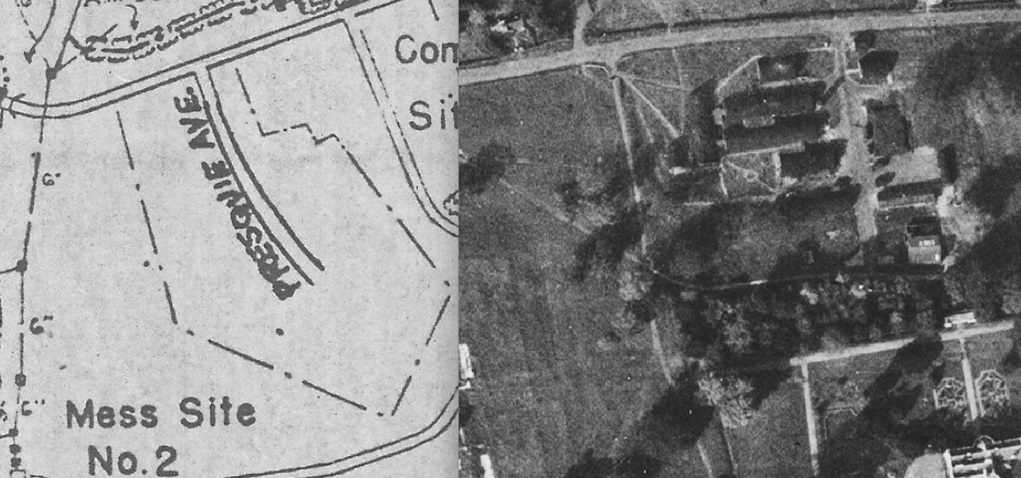
Presqiue Ave. was the road leading to the Communal site. The entrance was located on Connington Lane (now Church Road) near the church. Presqiue Ave. let to i.a. the picket post, Barber/Tailor/Shoemakers shop and the Stand-By Set House which is one of the few remaining buildings.
The first photo shows the new situation and old situation. The second photo shows the only remaining building on this site, the Stand-By Set House. the road leading up to the Stand-By Set House would have been Presqiue Ave.
— click on the images for full size photos —
Jacksonville Rd.
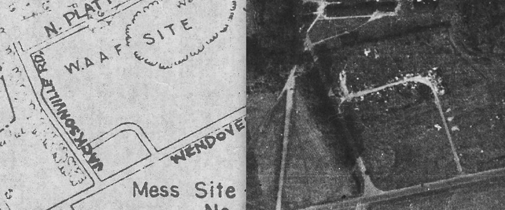
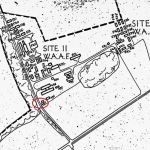
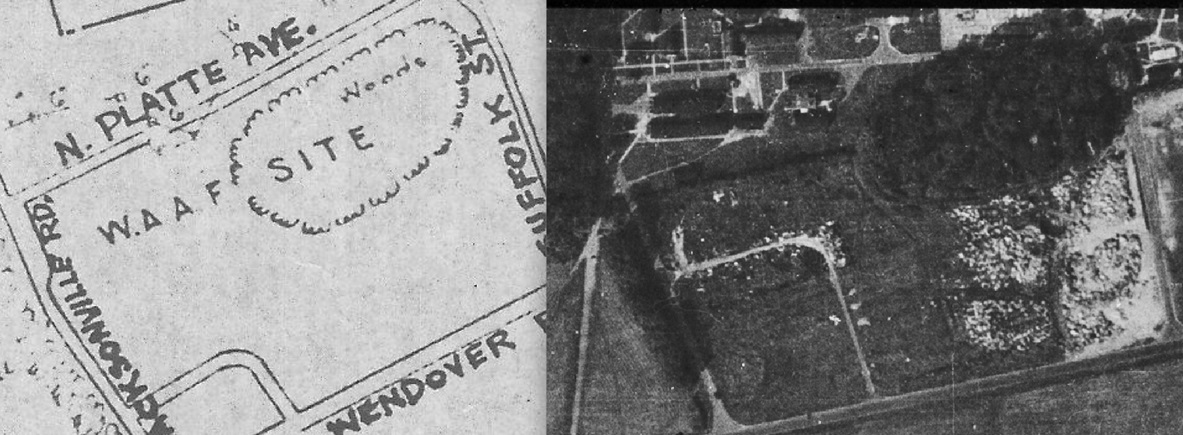
Jacksonville Rd. was one of two roads (the other one was Suffolk St.) leading to the W.A.A.F. living area. The entrance was located on Wendover Blvd. A fun fact is that at the end of Jacksonville Rd. was a guard house. So men from the base couldn’t just enter the W.A.A.F. living area. There are no photos from the war of this area.
The photo below shows the location of the guard house at the end of Jacksonville Rd.
— click on the images for full size photos —
N. Platte Ave.
N. Platte Ave. was the road going through the W.A.A.F. living areas. Both Jacksonville Rd. and Suffolk St. connected to N. Platte Ave. Nowadays a forest stands where the W.A.A.F. living area would have been. We have no idea if the N. Platte Ave. is still hidden in that forrest but if someone knows please let us know.
The photo below shows the N. Platte Ave. running through the W.A.A.F. living areas.
— click on the images for full size photos —
Suffolk St.
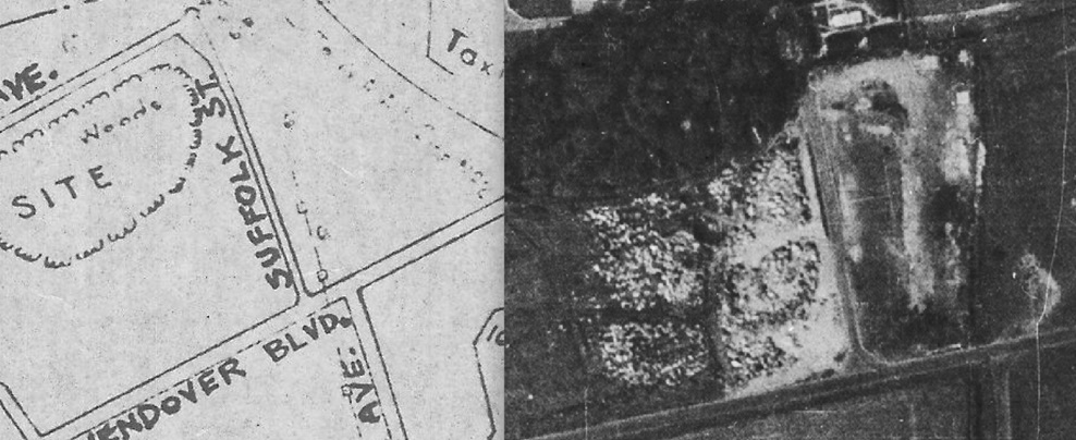
Suffolk St. was one of two roads (the other one was Jacksonville Rd.) leading to the W.A.A.F. living area. The entrance was located on Wendover Blvd. There are no photos from the war of this area.
— click on the images for full size photos —
Ephrata Ave.
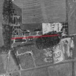
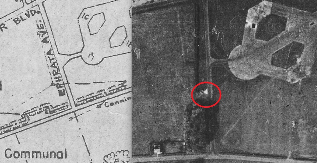
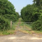
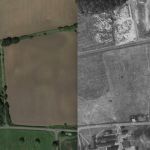
The Ephrata Ave. was a road between Connington Lane (now Church Road) and Wendover Blvd. When using the Ephrata Ave. you could walk from the Communal site to the W.A.A.F. site or the Technical site more quickly. Halfway the Ephrata Ave. was a small path leading to some hard stands. At the beginning of Ephrata Ave, was a latrine bucket cleaning platform, see red circle on photo below.
The first photo shows the Ephrata Ave. nowadays taken from Church Road in the direction of Wendover Blvd./W.A.A.F. Site. The second photo shows the Ephrata Ave. (road in the middle of the photo) now and back in 1944.
— click on the images for full size photos —
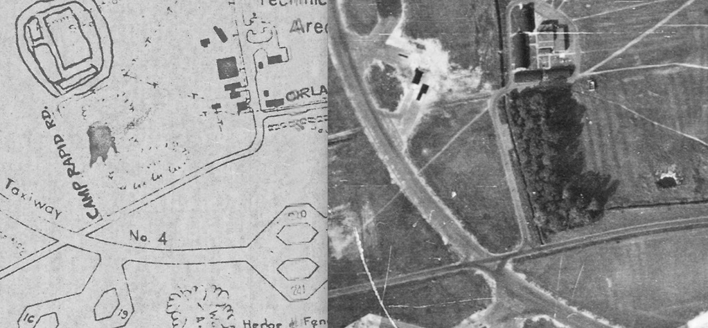
Camp Rapid Rd.
Camp Rapid Rd. lead to the Admin site, that location held i.a. the Headquarters, Station Offices and Operations Block. The name, Camp Rapid, is well known. The entrance to Camp Rapid Rd. was on Wendover Blvd.
The photo below shows Camp Rapid Rd. just before entering the Admin. site. In the background you can see the base Headquarters.
— click on the image for full size photo —
Orlando Ave.
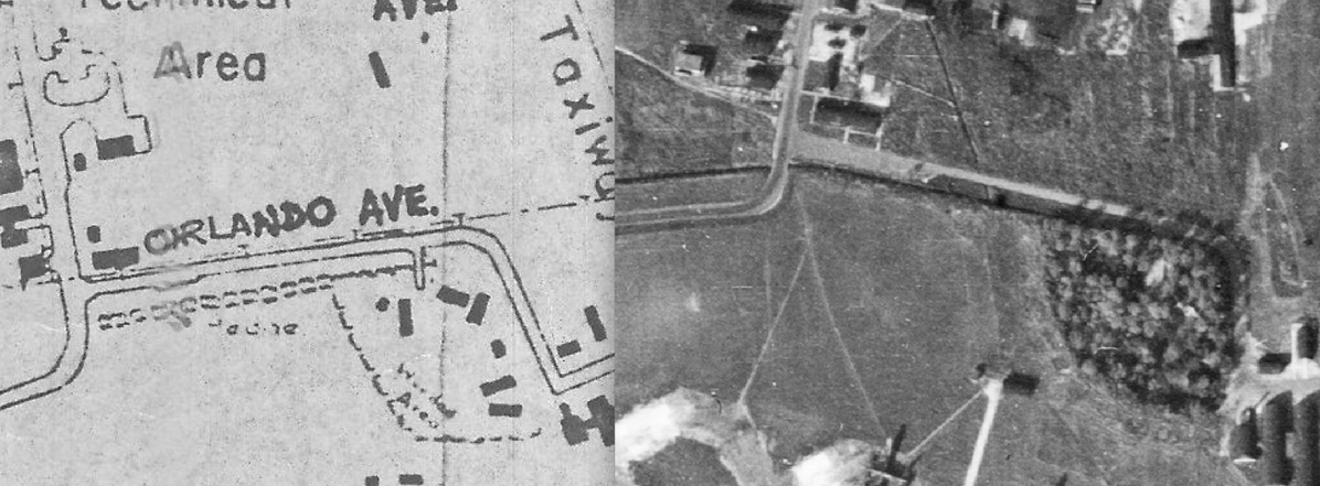
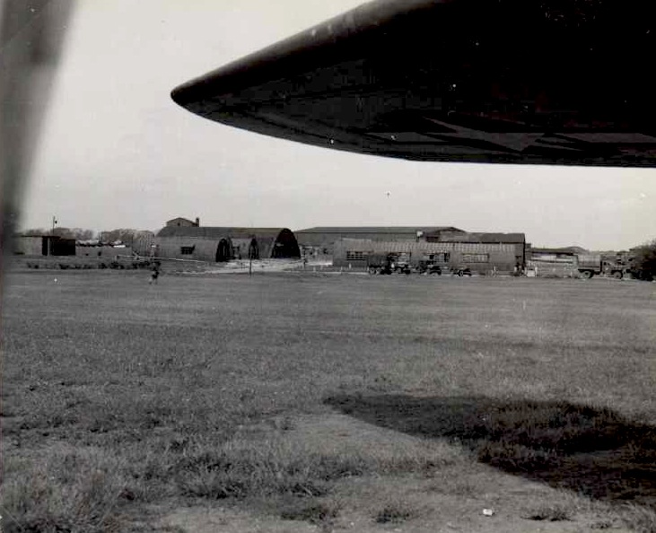
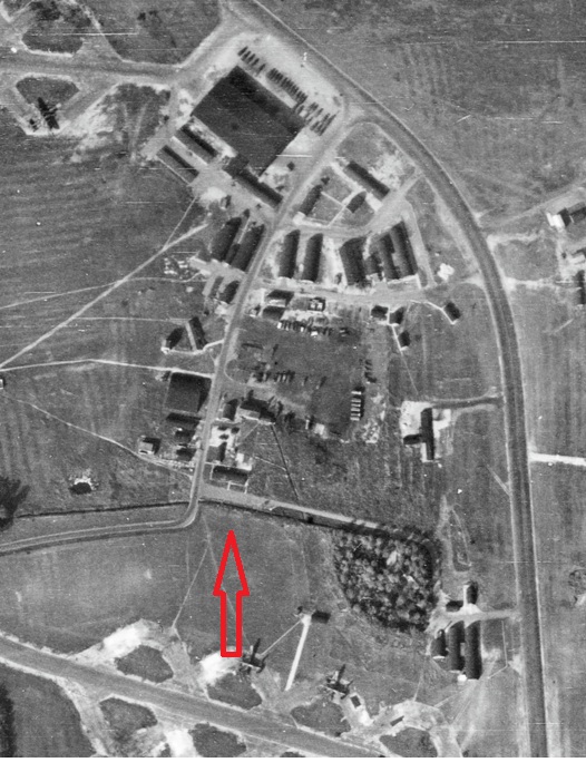
Orlando Ave. was located at the end of Wendover Blvd. near the technical site. On the corner of the entrance to Orlando Ave. was the Guard and Fire Party House. On the other side of the was a parking area. When driving down Orlando Ave. you would end up at the Taxiway No. 2. Just before reaching Taxiway No. 2 you would also driving past Flight Offices, Squadron Offices, Gas Defence centre and the Crew Locker and Drying Room.
The left photo shows, under the wing, the Guard and Fire Party house and on the other side of the road the parking area where multiple trucks are parked. In the back you can make out the T2 hangar. The other photo shows the direction the photographer was looking in.
— click on the images for full size photos —
Redmond Ave.
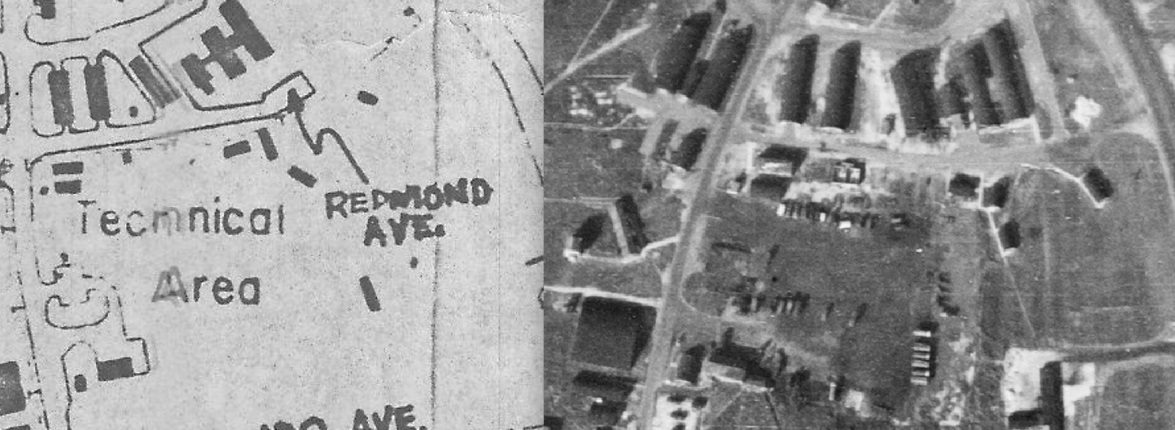
Camp Rapid Rd. lead to the Admin site, that location held i.a. the Headquarters, Station Offices and Operations Block. The name, Camp Rapid, is well known. The entrance to Camp Rapid Rd. was on Wendover Blvd.
— click on the images for full size photos —
Grand Island Ave.
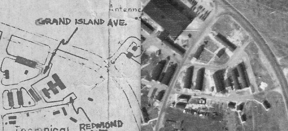
Camp Rapid Rd. lead to the Admin site, that location held i.a. the Headquarters, Station Offices and Operations Block. The name, Camp Rapid, is well known. The entrance to Camp Rapid Rd. was on Wendover Blvd.
— click on the images for full size photos —
Deadwood Drive
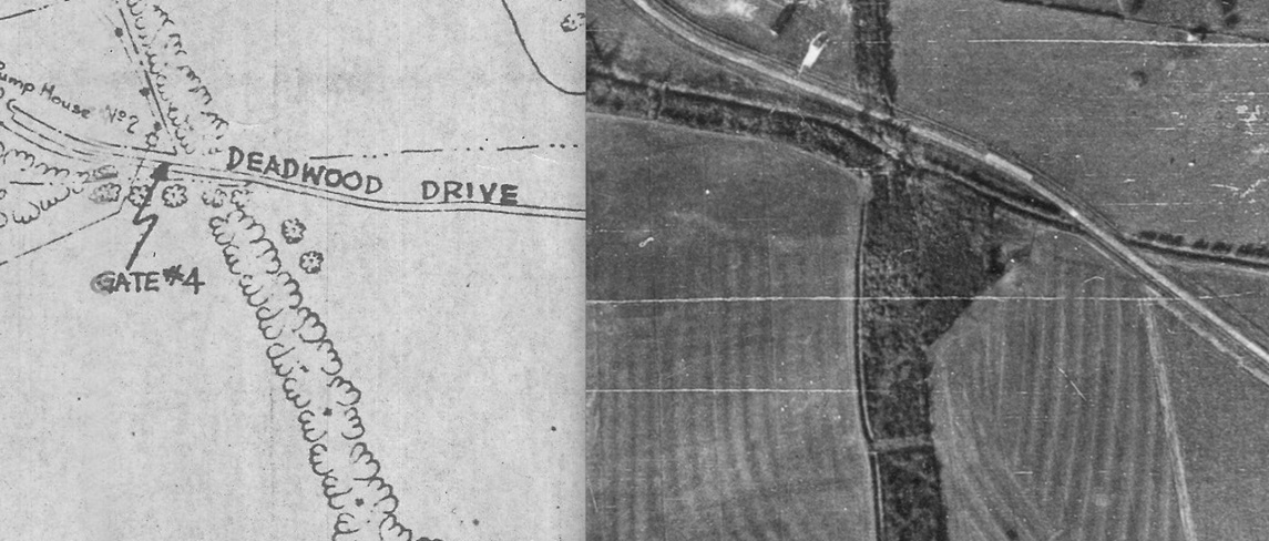
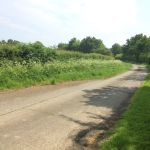
Deadwood Drive began near the Sick Quarters or Gate #4 (see article ‘Entry Gates’ (click here)). Nowadays Deadwood Drive is named Church Lane. There are no photos of Deadwood Drive in 1944/1945.
The first photo shows us Deadwood Drive in modern times. This would have been the location of entree gate #4. The second photo shows us Deadwood Drive. There are no photos from 1944/1945 of this location.
— click on the images for full size photos —
Shanks Road
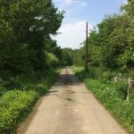
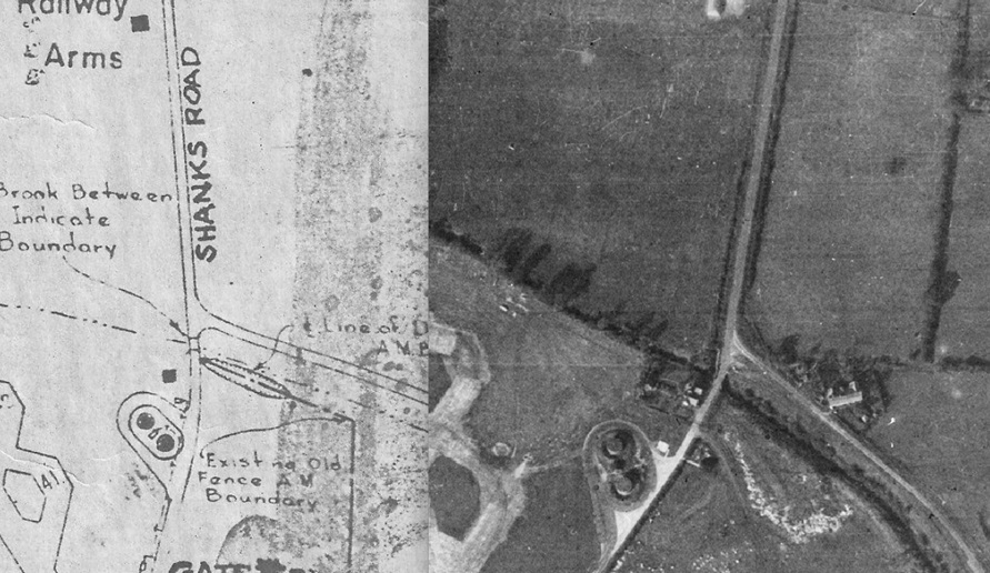
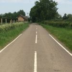
Shanks Road began at Gate #3, leaving base in the direction of Holme. Nowadays Shanks Road is named Pingle Bank. There are no photos of Shanks Road in 1944/1945.
Shanks Road in the direction of Holme. This photo was taken at the location of Gate #3.
— click on the images for full size photos —


